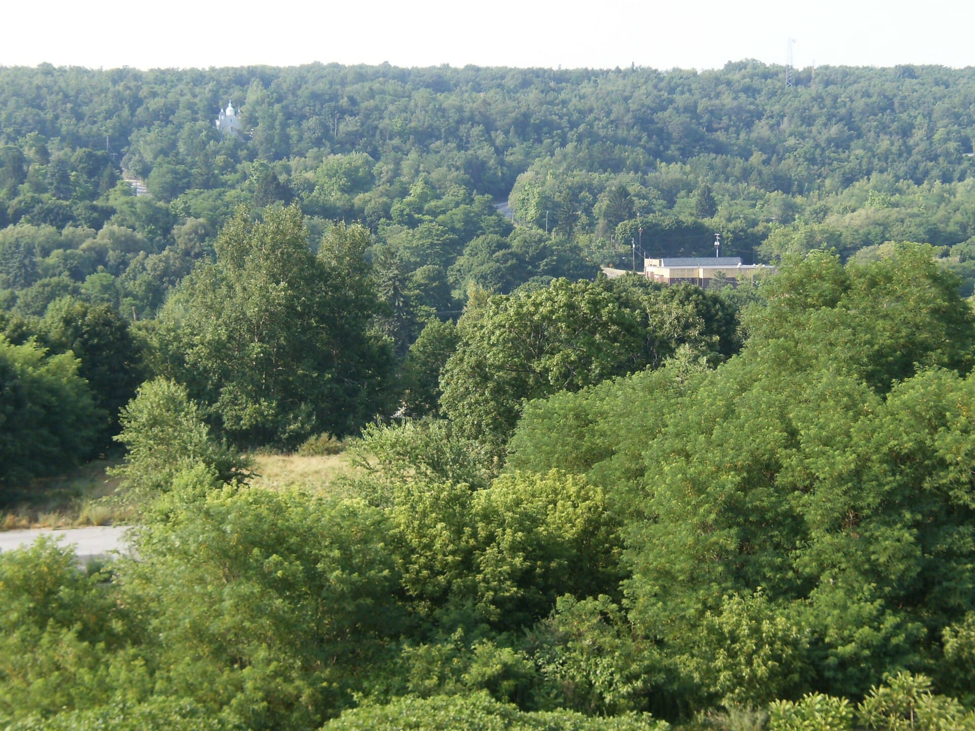
The fire that changed Centralia’s future began underground, then slowly took away the town above it.
Centralia, Pennsylvania is a largely emptied coal town in Columbia County, known for a mine fire that began in May 1962. Decades of hazardous gases, unstable ground, property purchases, and relocation transformed a working community into a landscape of missing homes.
It is also a place where dramatic internet images can obscure the most important detail. Pennsylvania’s environmental agency strongly discourages visiting the immediate mine-fire area because of potentially deadly hazards.
Before the fire, Centralia was a coal town
Centralia’s history reaches further back than the disaster. The Pennsylvania Department of Environmental Protection traces earlier settlement to Bull’s Head in 1811.
Coal mining began in the area in 1842. The Centralia Colliery opened in 1862, and the borough incorporated in February 1866.
Those dates restore something that the ghost-town label tends to erase: Centralia had a long life before it became a cautionary tale.
Coal supplied the reason for the community to grow. It also left workings beneath the surface that would make the later fire difficult to contain. The same landscape held both the source of employment and the conditions for a prolonged disaster.
Thinking of Centralia only as an eerie destination misses the scale of that loss. Streets were once routes between homes and businesses, not scenery for photographs.
How did the Centralia mine fire start?
DEP says the fire reportedly began during the controlled burning of household waste in an abandoned surface-mining pit. It is believed to have spread into nearby combustible material and underground mine workings.
The wording matters. “Reportedly” and “believed” reflect the agency’s account of the origin. They should not be replaced with an invented eyewitness scene or a claim that every detail is settled.
The fire has burned in abandoned workings associated with the Buck Mountain coal bed. Once a fire moves through a mined landscape, its behavior cannot be understood simply by looking for flames at the surface.
An old photograph of smoke therefore tells only part of the story. The absence of visible smoke is not evidence that a location is safe.
The long decision to move a community
Government efforts to control the fire continued for years. DEP’s official chronology records $3.3 million spent by state and federal agencies between 1962 and 1978, with limited results.
In 1984, Congress allocated $42 million for voluntary property acquisition and relocation. Between 1985 and 1991, the program acquired 545 homes and businesses.
The shift from fighting the fire to moving people changed Centralia’s future. A technical problem underground had become a question of whether an entire community could remain.
Condemnation proceedings followed in the early 1990s, and the damaged section of Route 61 closed. These milestones help explain why “abandonment” is an incomplete word here. Many buildings disappeared through an organized response to danger, not simple neglect.
For families, relocation also meant losing a familiar pattern of life. An address could be replaced. A neighborhood, with its accumulated relationships and memories, was harder to recreate.
Why the fire is difficult to read from above
DEP’s mine-fire FAQ describes an uneven underground burn affected by geology, mining patterns, ventilation, and collapsed areas.
It also distinguishes the land involved in the fire from land actively burning at a given moment. Those are not interchangeable measurements.
The document includes figures from January 2012. They are historical measurements, not a live map for deciding where to walk today.
This is one reason a casual visit cannot answer the obvious questions. A quiet field or intact strip of pavement does not reveal everything beneath it.
Centralia’s real mystery is therefore less supernatural than geological. What looks solid above ground may tell very little about what is happening below.
What happened to the Graffiti Highway?
The abandoned stretch of Route 61 gained a second identity as the Graffiti Highway. Its bright painted surface became one of the most widely shared images associated with Centralia.
In April 2020, its owner began covering it with dirt, as reported by The Philadelphia Inquirer. Older photographs should not be treated as a current invitation to visit.
Atlas Obscura’s account places the road’s popularity in the later story of the town. The attraction developed after the disaster had already reshaped the community.
That difference is worth keeping in mind. The painted road was a later layer of public fascination. It was not the heart of the town that residents lost.
Understanding Centralia without entering the hazard area
Use agency records, historical photographs, and reporting to explore the story. Do not cross barriers, enter closed land, or interpret an old travel blog as permission.
DEP warns that dangerous gases and sudden ground collapse can cause serious injury or death. Its warning applies even when the landscape appears calm.
Centralia deserves more than a frightening nickname. It illustrates how an industrial landscape can keep changing long after its original work ends, and how those changes can reach into the lives of people above it.
The most haunting thing about the town is not a ghost story. It is the knowledge that a familiar place can become impossible to keep.
Frequently asked questions
Is the Centralia fire still burning?
Pennsylvania DEP continues to identify Centralia as an active mine-fire hazard. Its current resource page traces the fire to May 1962.
Is Centralia safe to explore?
DEP strongly discourages visiting the immediate fire area because of dangerous gases and unstable ground.
Is the Graffiti Highway still an open attraction?
No. Its owner covered the former painted roadway with dirt beginning in 2020. Older travel photographs are outdated.
Did everyone leave at the same time?
No. Relocation and property acquisition took place over many years. The town’s decline was a prolonged process.
Featured photograph: Tom Vazquez. Original image and details. Public domain. Photograph predates this article; it is not a real-time view.
