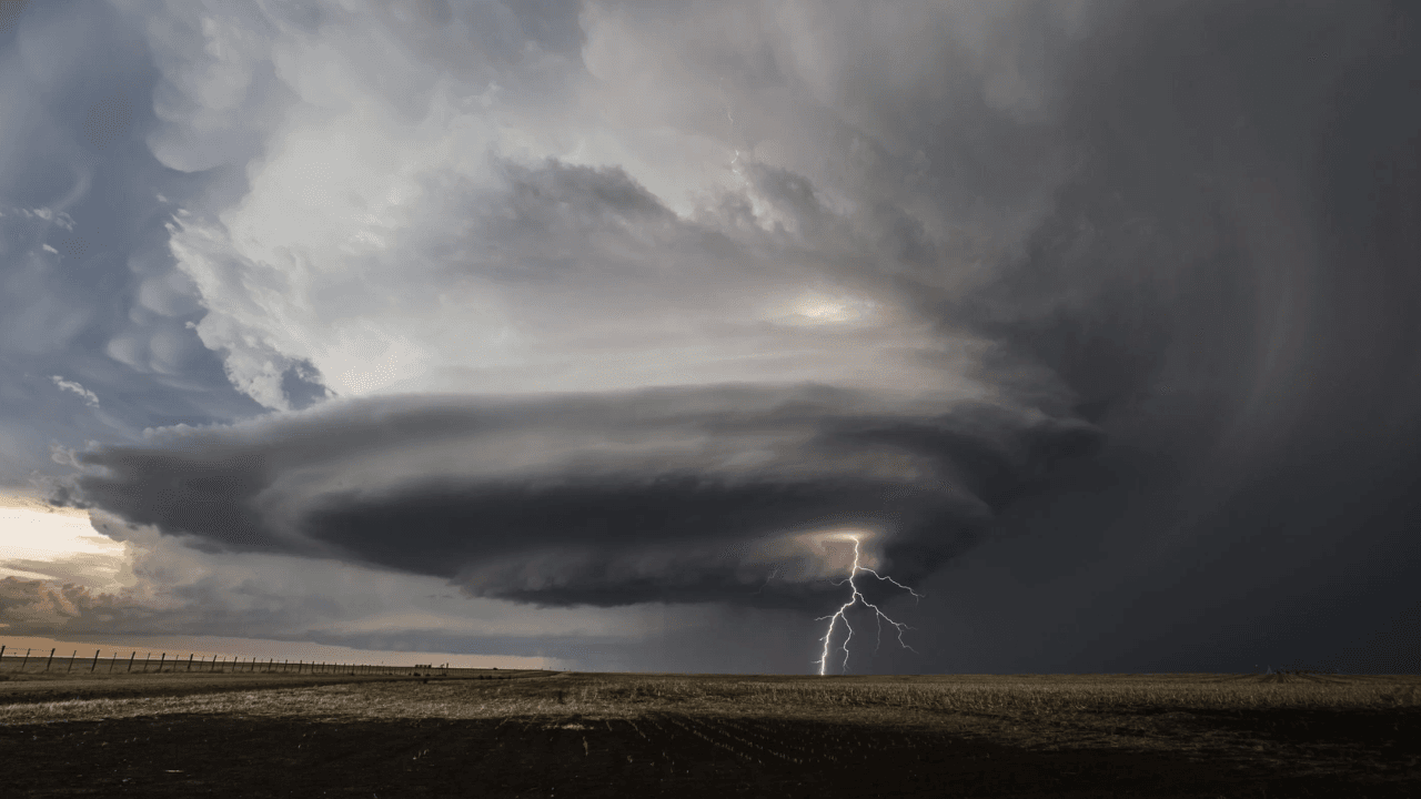
A rare tornado threat has put parts of Washington, Oregon and Idaho on alert for dangerous storms.
Forecasters are warning that severe thunderstorms could hit parts of the Pacific Northwest and western Idaho on Thursday afternoon and evening, bringing damaging winds, large hail and a small chance of a tornado.
The National Weather Service Storm Prediction Center issued a Slight Risk of severe thunderstorms for western Idaho and areas east of the Cascades in Washington and Oregon. The outlook said storms could become strong enough to produce damaging gusts, large hail and “perhaps a tornado.” National Weather Service Storm Prediction Center
The threat zone includes parts of central and eastern Oregon, southeast Washington and western Idaho. Communities near the Columbia Basin, central Oregon and parts of western Idaho may see storms develop through the afternoon and continue into the evening.
Supercells Could Form in the Northwest
The Storm Prediction Center said thunderstorms may first develop across southwest Idaho and southern Oregon. Some storms could then organize into clusters and move northwest toward the Columbia Basin and parts of Washington.
Forecasters said wind shear in the atmosphere could support supercell structures. Supercells are powerful thunderstorms that can produce large hail, damaging wind gusts and, in some cases, tornadoes.
The Pendleton, Oregon, office of the National Weather Service also warned of strong to severe storms Thursday afternoon and evening. It said the main threats include strong winds, frequent lightning, hail and brief heavy downpours. National Weather Service Pendleton
The agency urged people in the region to stay weather aware and have multiple ways to receive warnings and alerts.
Why This Threat Is Unusual
Tornadoes can happen in the Pacific Northwest, but they are not common compared with states in the central and southern Plains. That is why even a low tornado risk can draw attention when it appears in Oregon, Washington or Idaho.
NOAA explains that tornadoes are violently rotating columns of air that extend from a thunderstorm to the ground. They can cause damage in seconds, even when they are brief or weak. National Weather Service tornado safety guidance
The main concern Thursday is not only tornadoes. Forecasters are also watching for severe wind gusts and large hail, which can damage cars, break windows, knock down trees and create dangerous travel conditions.
Some storms may also produce heavy downpours and frequent lightning. Officials warn that people should move indoors quickly when thunder is heard.
Storm Setup Comes From a Strong Weather System
The Storm Prediction Center said the setup is tied to an upper low over central California and a strong disturbance moving toward Idaho and Oregon. That system is expected to interact with warm afternoon air and enough moisture to fuel thunderstorms.
As the air heats up, storms may form across central and eastern Oregon and southwest Idaho. By evening, some of those storms could move north and northwest into northeast Oregon and southeast Washington.
The official outlook said a 40 to 50 knot mid level jet will help support stronger storms. That means winds higher in the atmosphere could help storms organize and intensify.
Forecasters said the strongest storms could bring large hail and damaging wind gusts before organizing into clusters later in the evening.
Residents Urged to Prepare Before Storms Arrive
People in the risk zone should charge phones, check weather alerts and know where to shelter before storms begin. Waiting until a warning is issued can leave only minutes to react.
The safest place during a tornado warning is a basement or an interior room on the lowest floor of a sturdy building. People should stay away from windows and cover their head and neck.
Drivers should avoid flooded roads, downed trees and hail covered highways. People outdoors should move inside when thunder begins.
NOAA says every household should have a severe weather plan and more than one way to receive warnings. That can include Wireless Emergency Alerts, NOAA Weather Radio, local news and weather apps.
A Rare Weather Day for the Region
The Pacific Northwest is better known for rain, mountains and cool coastal weather than tornadoes. But Thursday’s setup shows that severe storms can develop far outside the traditional Tornado Alley.
The tornado risk remains low, but the overall severe storm threat is real. Large hail, strong winds and lightning could affect people from western Idaho into parts of Oregon and Washington.
For residents in the path, the message from forecasters is simple. Take the threat seriously, prepare before storms arrive and stay close to reliable warnings through Thursday night.