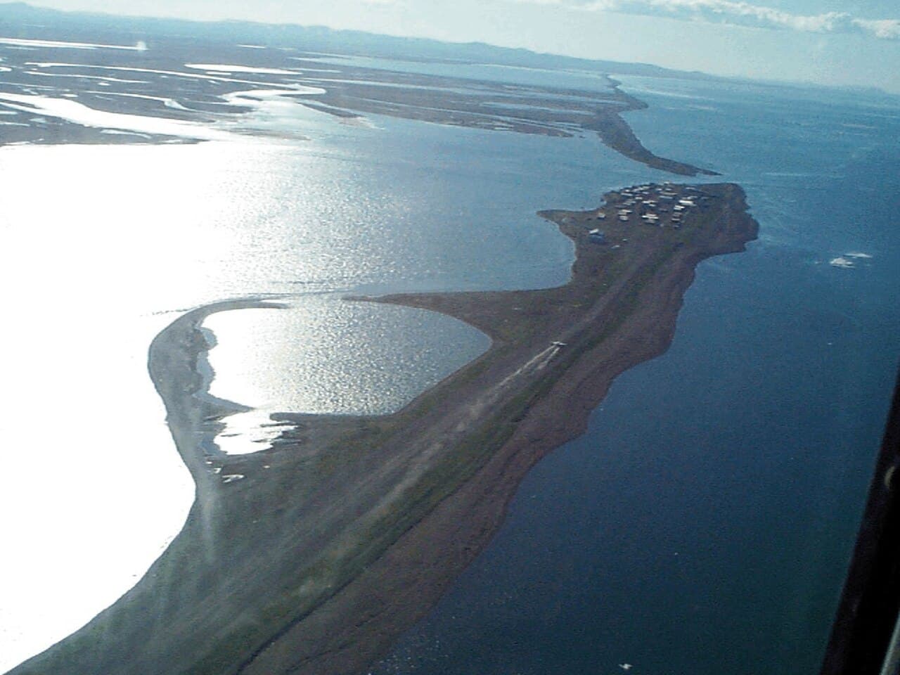
In October 2026, 202 people from Kivalina sheltered at their village’s inland school during a storm. The refuge stood about seven miles from the low-lying Alaska community, beyond the waves threatening its shores.
Most had returned home by the following Monday, local public radio reported. Their experience captures Kivalina’s situation: people are still living there, while preparing for dangers that can force them to leave at short notice.
A November 17 UNILAD story brought renewed attention to the village and residents’ differing feelings about leaving. The wider picture involves coastal erosion, changing sea ice and the difficult task of planning a community’s future. Read the UNILAD report.
A community between the sea and a lagoon
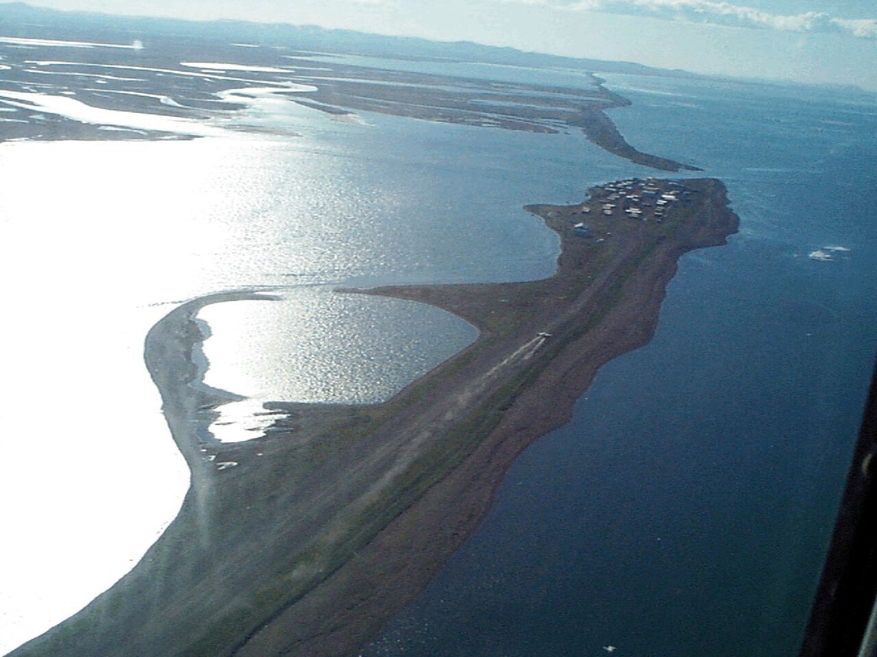
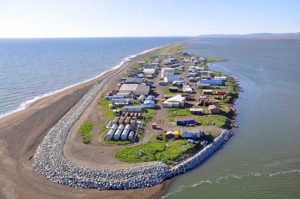
Kivalina is an Iñupiaq community on a narrow barrier island between the Chukchi Sea and Kivalina Lagoon in northwest Alaska.
Its coastal setting is central to understanding the threat. Storm water and waves can reach critical infrastructure, while erosion removes material from the shoreline.
Alaska’s Department of Transportation says severe storms and longer ice-free periods threaten the airport. Waves can throw ocean debris onto the runway, interfering with operations, including medical evacuations during storms. See the state’s airport relocation study overview.
What happened during the October storm?
KOTZ’s October 27 report put Kivalina’s population at about 440. Nearly half the community sheltered at the school during the storm.
The report described wind gusts reaching 65 mph, power cuts affecting part of the village and outages at the water plant and clinic. No storm-related injuries were reported, and property damage was limited.
Residents and volunteers used vehicles to move people to higher ground. The school district said most evacuees had returned home by Monday afternoon, while some elders and people without electricity remained.
Search and rescue coordinator Colleen Swan also described concern about changing storm conditions and erosion on the lagoon side. Read KOTZ reporter Desiree Hagen’s local account.
Why changing sea ice matters
Sea ice helps limit the exposure of coastal communities to waves. When it forms later, the shoreline can remain exposed during fall storms.
Alaska’s community-planning agency identifies longer ice-free periods as a reason Kivalina is vulnerable to dangerous storms. It records how erosion during storms in 2004 and 2005 threatened the community’s fuel storage, school and airstrip.
The immediate dangers involve several connected processes: storm surges, wave action, flooding and erosion. Reducing the story to a rising ocean alone misses how those forces affect the shoreline. Read Alaska’s coastal-protection profile for Kivalina.
An escape route has made a difference
Kivalina now has a road, bridge and causeway connecting the island with inland refuge.
A 2022 state announcement dates completion of the evacuation-road project to 2021. It says the route provides all-season access to shelter and also improves access to traditional fishing sites. Read the Alaska transportation department’s project announcement.
The state’s airport-study overview says the new school at K-Hill opened in fall 2022. That overview also describes evaluation of options to relocate or expand the community on higher ground. A school and an evacuation route are important steps, but they do not mean an entire village has already moved.
Why the old deadline needs context
Reports often repeat a prediction that Kivalina would become uninhabitable by 2025. That date should not be treated as a guaranteed day of disappearance.
A July 2010 assessment prepared for the City of Kivalina discussed an older estimate of 10–15 years remaining at the existing site. It explicitly noted that the estimate had not accounted for the rock shoreline protection built afterward.
The assessment also described how maintenance could affect that structure’s lifespan. Such estimates concern changing hazards and assumptions; they are not precise countdowns. See the city’s 2010 situation assessment, particularly its discussion of remaining at the existing site.
A future that involves more than moving buildings
Kivalina’s residents are responding through emergency preparation, protective infrastructure and long-term planning.
Their home remains a living community. Understanding its future means paying attention to residents’ choices, the practical work already underway and the environmental pressures that make that work urgent.
Photograph credits
Both images show the actual village in archival photographs. They do not depict the October 2026 storm. The U.S. Army Corps of Engineers aerial view is public domain. The ShoreZone aerial photograph is licensed under Creative Commons Attribution 2.0.

