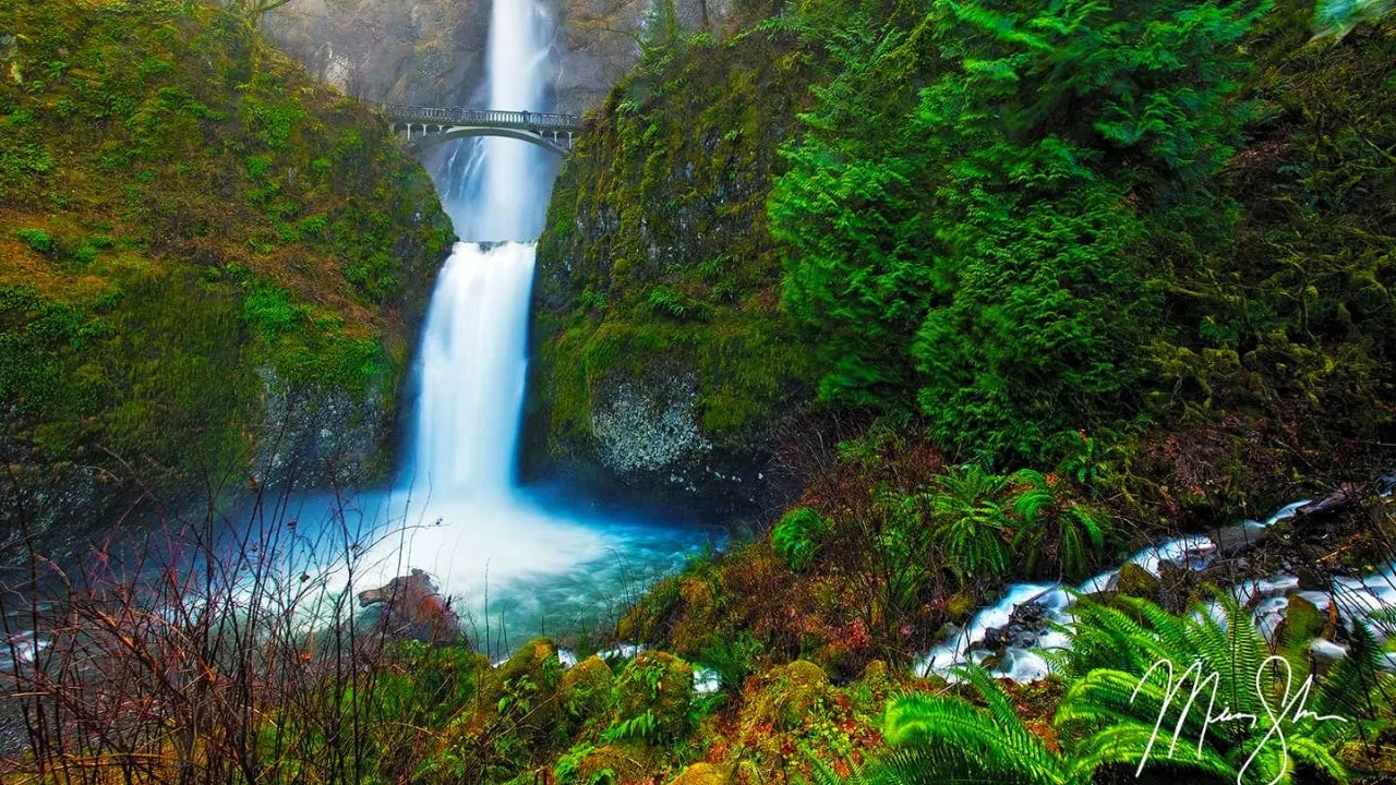
Multnomah Falls, located in the Columbia River Gorge, is the tallest waterfall in Oregon. This impressive natural feature drops a total of 620 feet (189 meters) in two distinct tiers. The upper tier cascades 542 feet (165 meters), while the lower tier adds 69 feet (21 meters), making it a prominent landmark in the state.
Visitors can easily access the falls from Interstate 84 and the Historic Columbia River Highway. They can view the waterfall from various points, including a bridge that spans the lower tier and observation decks offering panoramic views. Let’s explore more about this marvel of nature.
Structure and Height of the Tallest Waterfall in Oregon
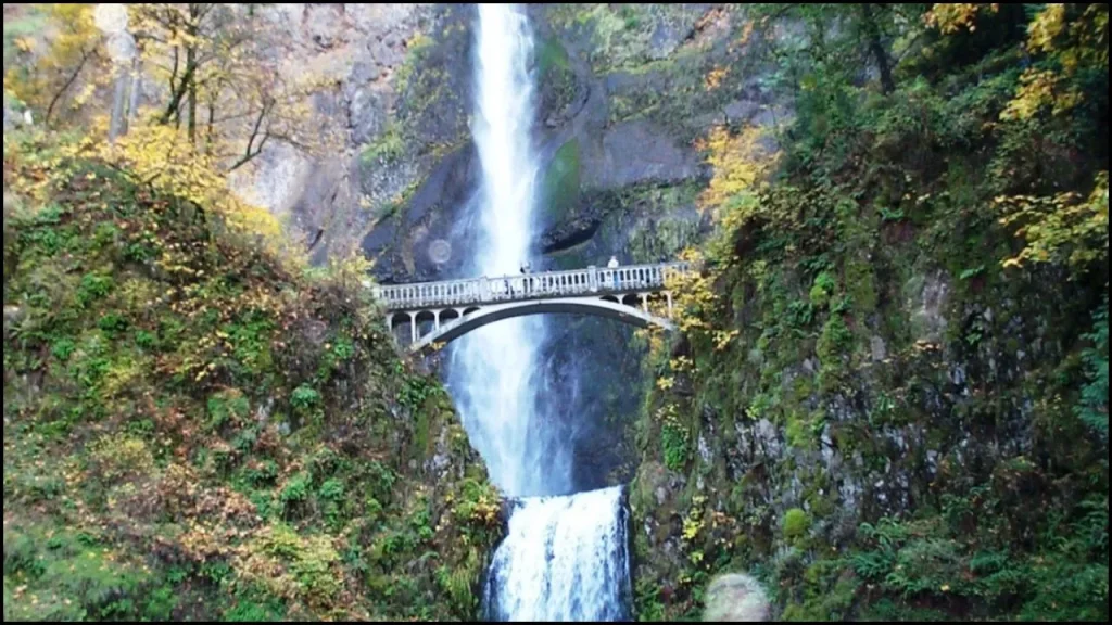
Multnomah Falls features two major drops. The upper fall descends 542 feet (165 meters), and the lower fall drops an additional 69 feet (21 meters). A minor 9-foot (3-meter) elevation between the two tiers contributes to 620 feet (189 meters) overall height. The fall’s appearance results from a basalt zone at the base of the upper fall, leading to the segmented structure.
Water Source
Underground springs on Larch Mountain provide the water for Multnomah Falls. Snowmelt and rainfall supplement this source. These springs feed Multnomah Creek, which maintains a steady flow throughout the year. The creek eventually drains into Benson Lake, located approximately 1,300 feet west of the waterfall’s base.
History and Development of the Tallest Waterfall in Oregon
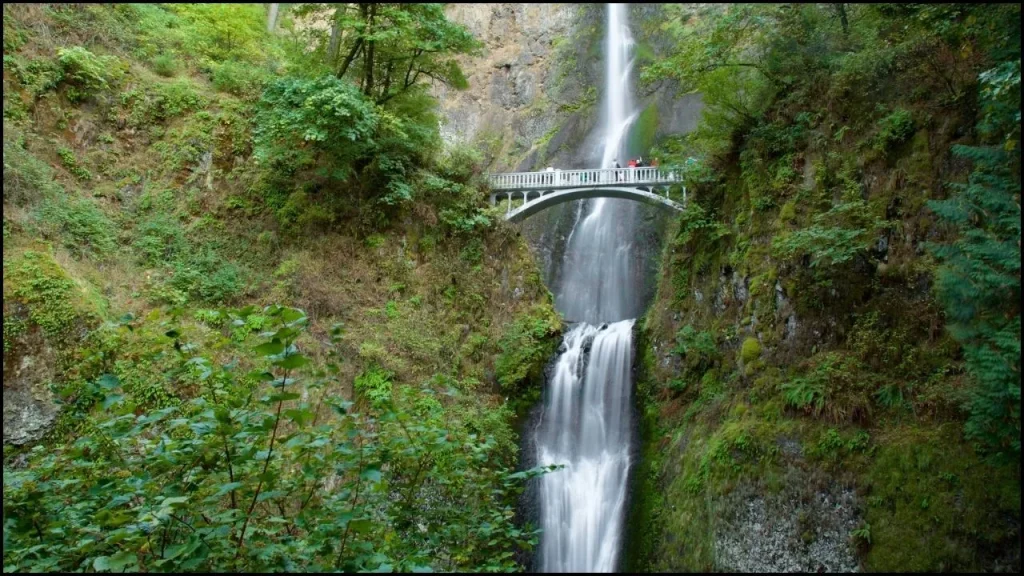
The waterfall formed around 15,000 years ago due to the Missoula floods. According to the Multnomah tribe’s legend, a young woman sacrificed herself to save her village from a plague. Her leap from the cliff created the waterfall.
Explorers William Clark and Meriwether Lewis documented the falls in 1805 during their Columbia River Gorge expedition. The falls’ name likely became popular through S. G. Reed, a Portland mercantile clerk, who promoted the Columbia River sites for steamboat tours.
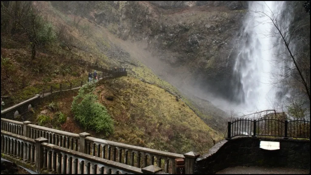
Simon Benson, a wealthy Portland lumberman, and a good roads enthusiast, significantly contributed to developing the area in the early 20th century. In 1915, Benson funded the construction of a trail and the Benson Footbridge, which spans the lower fall. The bridge stands 105 feet (32 meters) above the lower cascade, providing expansive views of the upper fall.
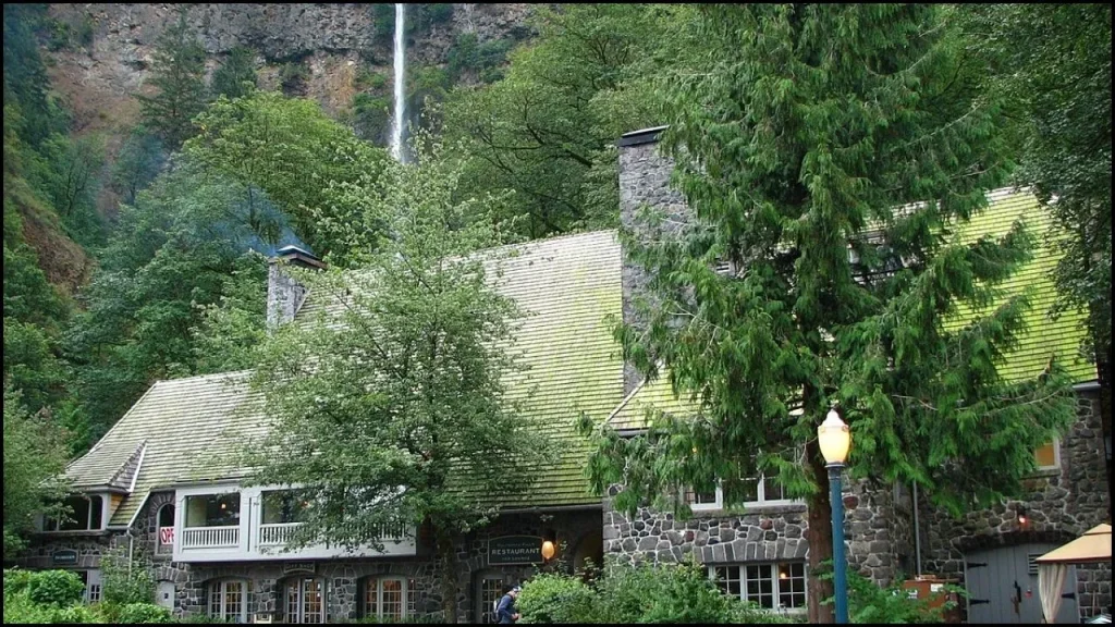
Architect A. E. Doyle designed the Multnomah Falls Lodge, which was completed in 1925. The lodge, built in a “Cascadian” style with native stone, initially provided lodging and meals. Today, it offers a restaurant, gift shop, and interpretive center. The lodge and footpaths were added to the National Register of Historic Places in 1981.
Access and Visitor Experience
Visitors access Multnomah Falls via Interstate 84 east of Troutdale, Oregon. As one of the most-visited natural sites in the Pacific Northwest, the falls attract over two million visitors annually. Parking can become congested, especially during peak seasons, leading to traffic management measures when the lot is full.

A paved foot trail leads to the Benson Footbridge, offering views of the lower cascade. The trail continues with switchbacks to an observation deck 100 feet (30 meters) above the falls, providing a bird’s-eye view of the waterfall and the Columbia Gorge. From this viewpoint, visitors can also see “Little Multnomah,” a small cascade upstream from the main falls.
The footpaths around Multnomah Falls include a 5.4-mile (8.7 km) trail loop that connects to other nearby waterfalls. The Mark O. Hatfield Memorial Trail starts at the falls and extends through the Columbia River Gorge to Starvation Creek. Several other trails branch off, allowing hikers to explore the area further.
Multnomah Creek Bridge
The Multnomah Creek Bridge or Benson Bridge, built in 1914, spans Multnomah Creek below the falls. This footbridge traverses Multnomah Creek between the two cascades of Multnomah Falls five-ribbed spandrel bridge measures 67 feet (20 meters) in length and is part of the Historic Columbia River Highway. It is listed on the National Register of Historic Places and contributes to the highway’s designation as a National Historic Landmark.

Samuel Lancaster who was a lead engineer and architect for the Columbia River Highway proposed the bridge. Then he built the bridge with the funding from Benson. The resulting footbridge is a 45′-0″ reinforced-concrete deck arch, 105′ above the lower Multnomah Falls. The location provides a spectacular view of the upper falls.
Maintenance and Safety Concerns
The Multnomah Falls area has faced several challenges over the years. In 1991, a wildfire damaged the surrounding area, leading to the permanent closure of the Perdition Trail. In 1995, a boulder fell from the falls, causing injuries to visitors on the Benson Footbridge. Rockfalls have continued to pose risks, leading to temporary closures for repairs.
In September 2017, the Eagle Creek Fire threatened the Multnomah Falls Lodge, resulting in temporary closures. While the lodge reopened in November 2017, some trails remained closed due to landslide concerns until late 2018. The trail to the Benson Bridge reopened in June 2018, and other trails were repaired and reopened later that year.
Conclusion
Multnomah Falls stands as a striking natural wonder and a historical landmark in Oregon. Its two-tiered cascade, accessible trails, and historical significance make it a prominent destination. Despite facing challenges from natural events and high visitor traffic, the falls continue to captivate with their beauty and historical importance.
Also Read

