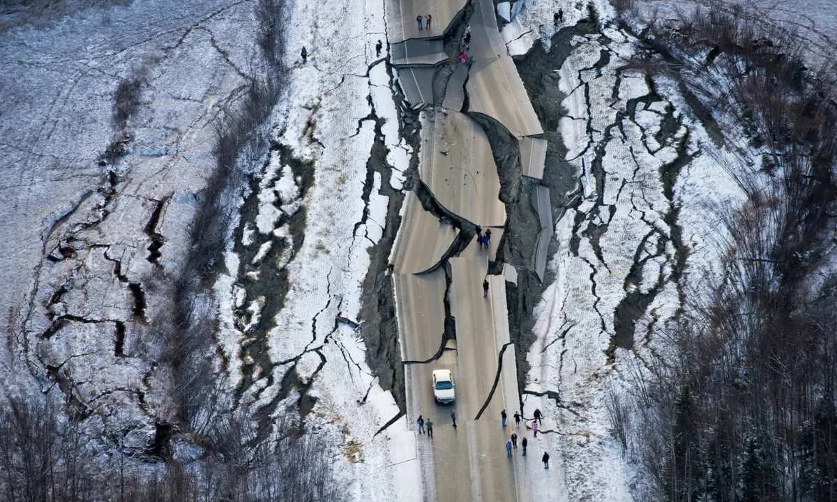
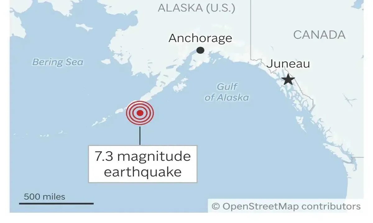
On the afternoon of July 16, 2025, Alaska experienced a sharp reminder of its place along one of the most earthquake-prone regions on Earth. At exactly 12:37 p.m. local time, a powerful 7.2 magnitude earthquake struck about 54 miles south of the small island town of Sand Point. The quake originated at a depth of around 12 miles beneath the Earth’s surface—shallow enough to increase the potential for surface impact.
The tremor immediately triggered fears of a tsunami. The National Tsunami Warning Center (NTWC), based in Palmer, Alaska, quickly issued a tsunami warning for large stretches of the southern Alaskan coastline and the Alaska Peninsula. This included places like Kodiak Island, Chignik, Cold Bay, and areas stretching from Kennedy Entrance to Unimak Pass. For residents in these zones, this warning brought back anxious memories of past disasters.
As part of the safety protocol, the U.S. Coast Guard at Kodiak Island took action. Personnel were evacuated to higher ground, and air crews were placed on standby in case assistance was needed. NOAA’s early statements warned that a tsunami of up to one foot could be expected. Although such a height may not sound alarming, even small tsunami waves can cause dangerous local effects, especially in narrow inlets and harbors.
A little over an hour later, there was a collective sigh of relief. The NTWC downgraded the warning to an advisory, and then canceled it altogether. A buoy off the coast of Sand Point recorded a small tsunami—just 0.2 feet, or about 6.1 centimeters. The threat had passed.
The situation remained calm afterward, with no initial reports of injuries or damage. But the earthquake didn’t end with the main shock. More than a dozen aftershocks followed, the strongest one reaching a magnitude of 5.2, according to the U.S. Geological Survey (USGS). While aftershocks are common, they always carry a risk of structural damage, especially in already weakened buildings.
Dr. Michael West, a seismologist with the Alaska Earthquake Center, explained that the southern coast of Alaska is no stranger to seismic activity. “The entire southern coast of Alaska is a gigantic earthquake zone,” he said. In fact, four out of every five earthquakes that happen in the U.S. occur in Alaska. That’s because the region sits on the Pacific Ring of Fire, an area known for its frequent and intense tectonic activity.
The quake on July 16 also drew comparisons to Alaska’s seismic past. The most powerful earthquake ever recorded in North America struck here on March 27, 1964. That quake measured 9.2 in magnitude and led to a catastrophic tsunami. Over 250 people died, and the damage across Alaska, the U.S. West Coast, and Hawaii was massive—costing over $400 million at the time.
Alaska also experienced a significant quake more recently, in July 2023, when a 7.2-magnitude earthquake shook the region. Thankfully, like the most recent event, it did not lead to widespread damage.
Even though this week’s earthquake didn’t lead to serious destruction, the chain of events—from the initial jolt to the issuing and canceling of warnings—highlights how seriously authorities take seismic risks in this region. Officials continue to monitor the area and advise residents to follow guidance and avoid entering hazard zones until cleared.
As Dr. West put it, early signs show Alaska was “on the lucky side today.” But in a state where the ground can shift without warning, being prepared remains essential.