When floodwater spread across roads and pastures in British Columbia’s Pemberton Valley, neighbors shared boats, canoes and local knowledge to help animals stranded by the rising water.
Among those needing help was a herd of horses that had roamed the valley for decades.
The flooding struck during the week of Thursday, November 12, 2026, north of Whistler. Heavy rain and alpine snowmelt contributed to the emergency.
Rain, snowmelt and disrupted access
The Squamish-Lillooet Regional District’s November 12 update described flooding across several communities, neighboring municipalities and First Nations.
Its emergency operations centre was coordinating with the Village of Pemberton, First Nations, the Pemberton Valley Dyking District and other partners. The notice warned that flooding and debris could affect roads and properties, including areas away from riverbanks.
An evacuation order had been issued for part of Airport Road on November 11. Elsewhere, alerts and shelter-in-place advice reflected the difficulties of moving safely through the affected area. These were measures reported during the event. Read the regional district’s dated November 12 update.
The people looking out for the horses
CityNews reporter Jack Rabb identified Jackie Andrew, a member of the Lil’wat Nation, as a central organizer of animal rescues. Social media helped her coordinate support for stranded pets and horses.
Pemberton resident Brenna Bluethner worked alongside Andrew and others. The flood had separated the horse herd, leaving some animals in deep water and others initially missing.
The report described Bluethner helping guide frightened horses toward dry land when boats alone could not move them. It also reported relief when the animals were found and accounted for. Read CityNews’ November 15 reporting and interviews.
Why the water rose
The province’s River Forecast Centre had upgraded Pemberton Valley to a flood warning before the Thursday flooding.
Its November 11 bulletin forecast further rainfall and reported additional high-elevation snowmelt. The warning covered the Lillooet River and surrounding tributaries and highlighted risks from high flows, erosion and submerged roads. See the provincial flood-warning bulletin.
That combination helps explain why familiar journeys became difficult: water was arriving from both rainfall and melting snow, while affected roads restricted access to people and animals.
Cooperation that could outlast the flood
Andrew told CityNews she hoped the cooperation between Lil’wat and Pemberton residents would continue after the water receded.
The rescue effort depended on people sharing practical resources and responding to one another’s needs. Their local work formed part of a wider emergency in which public agencies were also coordinating support.
Floodwater disrupted the routes people knew. The connections between neighbors helped them find another way to reach animals in need.
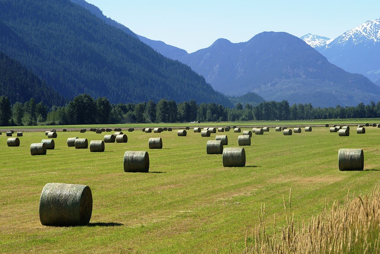
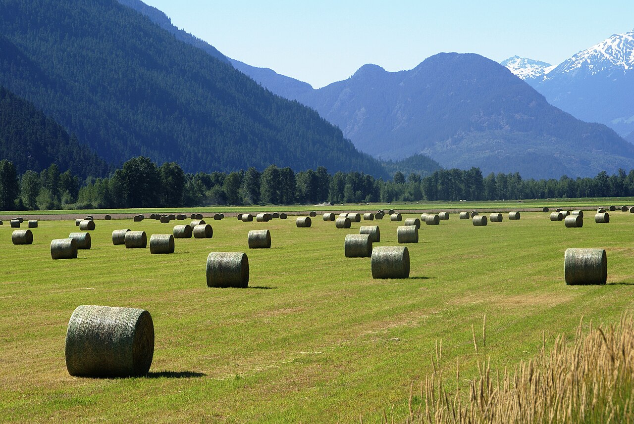
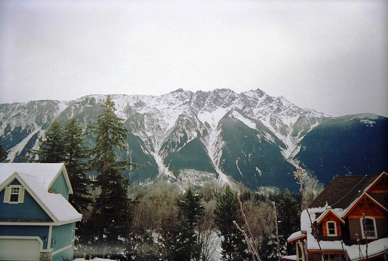
Photograph credits
Both photographs show the actual Pemberton area in archival images. Neither depicts the November 2026 flooding or the rescue. Pemberton farmland, by Javedbabar, is licensed under CC BY-SA 3.0. Pemberton, by Nacasma, is licensed under CC BY 3.0.

